Cyprus in Europe Rivers Mini Map
Click or tap the map to enlarge it.
Cyprus In Europe Rivers Mini Map – A Cartographer’s Guide
Key Takeaways
- Cyprus, an island in the Mediterranean, features an intricate river system that enhances its natural beauty.
- Through this mini map, explore the major rivers in Cyprus and their significance for the island.
- Cyprus’ rivers provide vital resources for agriculture, support rich biodiversity, and offer recreational opportunities.
History
The Formation of Cyprus
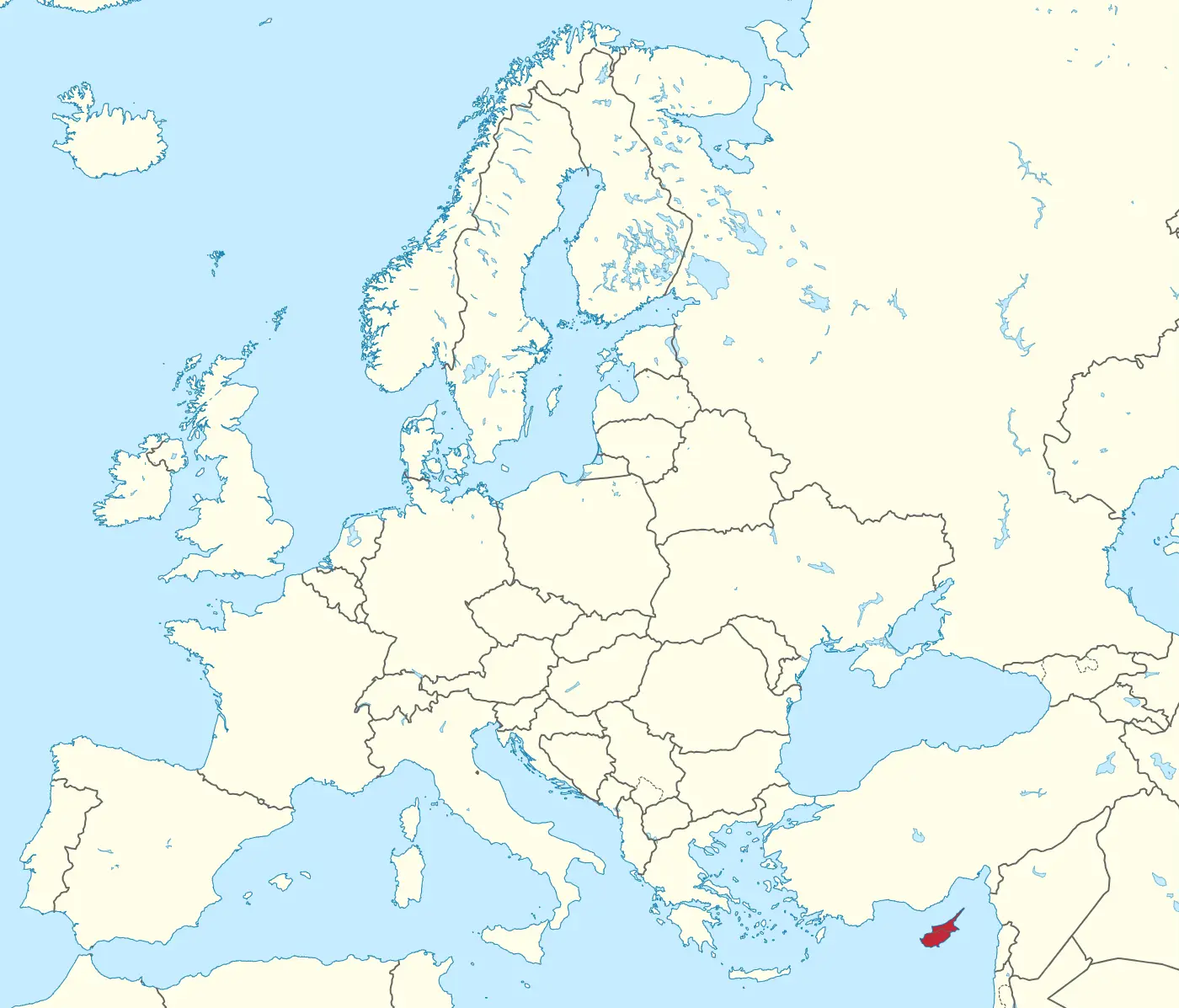
Cyprus is an island located in the eastern Mediterranean Sea, situated at the crossroads of Europe, Asia, and Africa. The island has a rich historical and cultural heritage, dating back to ancient times.
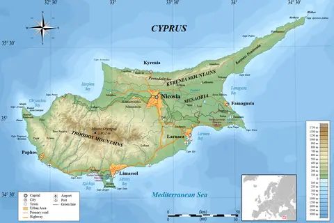
Geographically, Cyprus is primarily made up of two mountain ranges, the Troodos Mountains and the Kyrenia Range. These mountains act as the main sources of water for the island’s river system.
The Cyprus River Network
Cyprus boasts several rivers, with the major ones being Gialia, Pedieos, Kouris, and Xeros. These rivers originate from springs and rainfall, flowing through valleys and gorges, and eventually emptying into the surrounding seas.
The river network of Cyprus plays a crucial role in the island’s ecosystems, supporting diverse plant and animal life. They provide essential water resources for irrigation, drinking water supply, and hydroelectric power generation.
Unique Insights
As a cartographer, studying the rivers of Cyprus unveils fascinating insights:
- The Troodos Mountains, the highest mountain range in Cyprus, give rise to many of the island’s rivers.
- The island’s rivers are relatively short in length, but they have immense historical and cultural significance.
- The rivers of Cyprus act as natural boundaries, delineating regions and offering potential defense advantages.
- The river valleys in Cyprus are home to unique ecosystems, with various endemic species.
- Cyprus’ riverbanks provide picturesque landscapes and recreational spots, attracting tourists and locals alike.
Table of Relevant Facts
| River | Length (km) | Main Source | Significance |
|---|---|---|---|
| Gialia | 19 | Troodos Mountains | Provides irrigation water for agricultural activities. |
| Pedieos | 98 | Trout Lake | Key source of drinking water for Nicosia, the capital of Cyprus. |
| Kouris | 38 | Troodos Mountains | Supports irrigation for fertile plains and hydroelectric power generation. |
| Xeros | 22 | Madari | Offers recreational opportunities and enhances the local biodiversity. |
Frequently Asked Questions (FAQ)
1. Why are the rivers in Cyprus relatively short compared to other countries?
The rivers in Cyprus are short due to the island’s small size and limited drainage area.
2. Do the rivers of Cyprus face any pollution challenges?
Yes, pollution from agricultural runoff and improper waste management pose challenges to the quality of river water in Cyprus.
3. Can I engage in water activities on Cyprus’ rivers?
Yes, some rivers like Xeros offer opportunities for activities like kayaking and fishing.
4. Are there any significant historical events associated with Cyprus’ rivers?
Cyprus’ rivers played significant roles throughout history, especially during conflicts, for their strategic importance in defining boundaries.
5. Are the rivers in Cyprus protected by any conservation efforts?
Yes, the Cyprus Government, along with various environmental organizations, has implemented conservation measures to protect and preserve the island’s rivers and their ecosystems.
6. Can I rely on the river water for drinking purposes?
The river water in Cyprus undergoes treatment, and in some cases, it is safe for drinking. However, it is advisable to consume water from regulated water supply systems.
7. How can I explore the rivers of Cyprus?
You can explore the rivers of Cyprus by embarking on guided nature walks, visiting riverbanks, and engaging in water activities offered by local tour operators.
External Links
LSI Keywords
- Cyprus rivers
- Cyprus river map
- Cyprus geography
- Troodos Mountains
- Cyprus river networks
- Cyprus river characteristics
- Cyprus river significance
- Cyprus river history
- Cyprus river recreation
- Cyprus river tourism